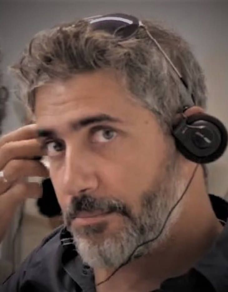
Dr. Elias Fakiris
Elias Fakiris is a Postdoctoral Research Fellow, at Oceanus-Lab. He is a marine geologist with proven multidisciplinary scientific experience in remote sensing, passive and active acoustics, habitat mapping, marine geophysics, expert data assimilation, machine learning and hydrodynamical modelling.
Totaling >1,000 days of sea-time around the Mediterranean, he has participated in more than 43 marine surveys, spanning topics from marine geology, geotechnical mapping, physical oceanography and geoarchaeology to habitat mapping, environmental studies, and passive acoustics. This has led to the acquisition of several multi-instrument (e.g., SBES, SSS, MBES, AGDS, ADCP, current meters, magnetometers, CTDs) and more generally in ground-truthing (e.g., sediment sampling, water sampling, tow camera and ROV operations) datasets to be made available for industrial clients, European projects and research activities. He has proven problem-solving abilities, tested with continuous exercises given as assessments, which may require mathematical analysis, evaluation, and programming of specialized computational tools. Those, packaged as individual software, have been presented in several publications and conference communications, while they have been used for habitat mapping in more than four research institutions around the world, such as the Rutgerts Unv, USA, the Unv of Santa Catarina (Brazil), the Unv of New Hampshire, CCOM, USA, and the Bath Unv, UK. His working experience involves multinational environments such as at the Center for Marine Research and Experimentation (CMRE), La Spezia, Italy, while he has been involved in 13 EU research programs. He has authored 26 articles in SCI journals and 39 in conferences. His work has received 560 citations and his h-index is 14 (source: google-schollar, February 2021).
