- All
- Current meters
- Gas measurement
- Global Navigation Satellite System – GNSS
- Lab Equipment
- Marine Magnetometer
- Motion Reference Unit
- Multi-parameter seawater sensors
- Multibeam Echosounders (MBES)
- Seafloor Visual Inspection (Gound Truth)
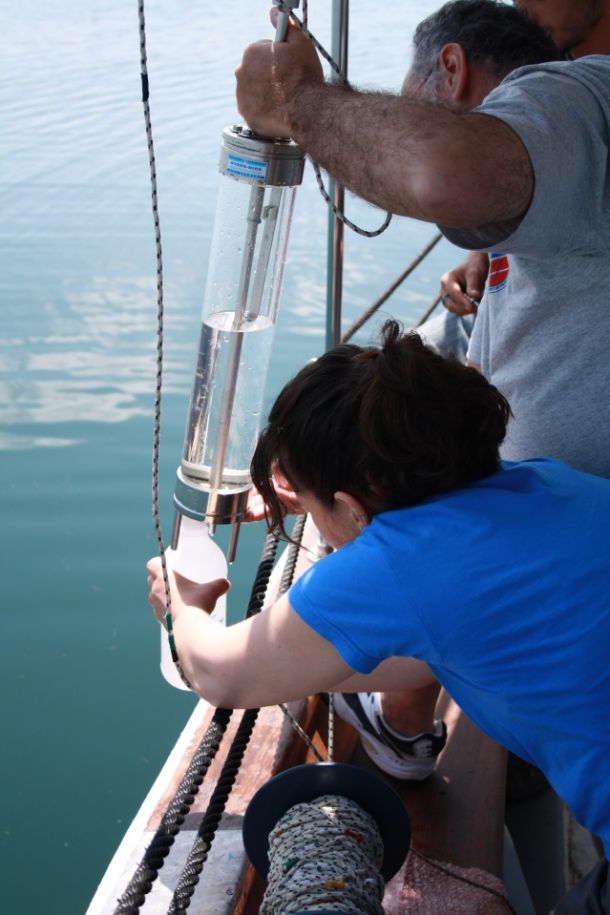
- Seawater Samplers
- Sediment Samplers
- Side Scan Sonars (SSS)
- Singlebeam Echosounders (SBES)
- Software
- Sub-Bottom Profilers (SBP)
- Tide Gauges
- Ultra-Short Baseline (USBL)
- Underwater Noise Monitoring Hydrophones
- Water Temperature Monitoring
Multi-parameter seawater sensors
OTT Orpheus Mini
A ground water data logger that can be also used as a seawater level logger.
Temperature: Accura...
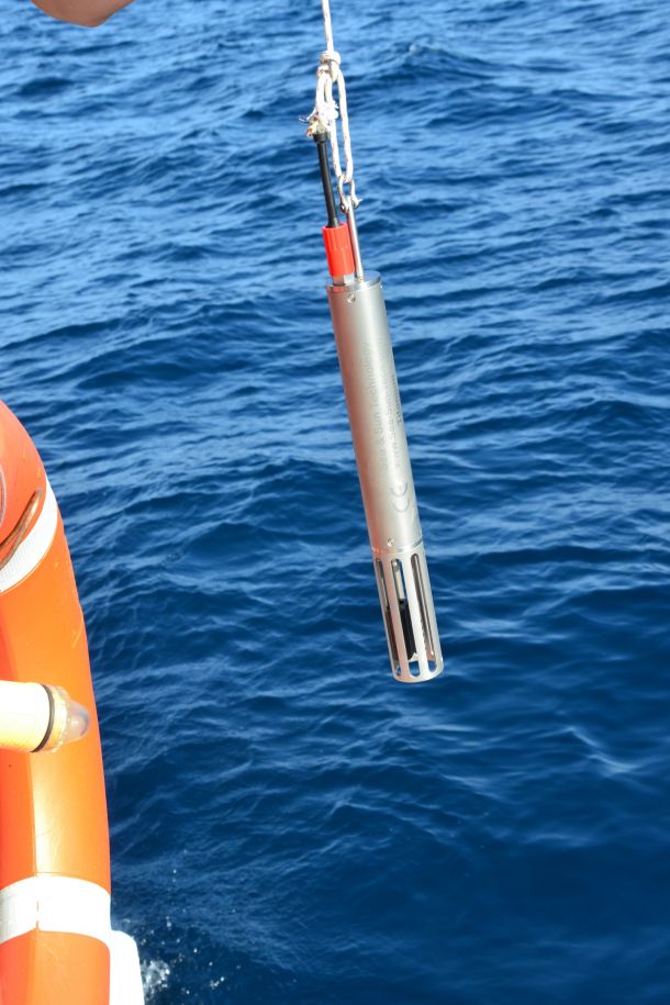
Multi-parameter seawater sensors
Sea & Sun CTD48
A small multiparameter CTD designed for fast deployment and measurements.
Depth Range: 6000m
Te...
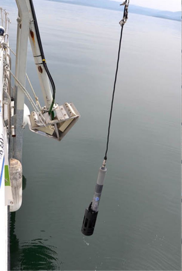
Multi-parameter seawater sensors
In-Situ Troll 9500
A High-quality system that simplifies multiparameter logging.
Depth Rating: 250m
Barometric Pre...
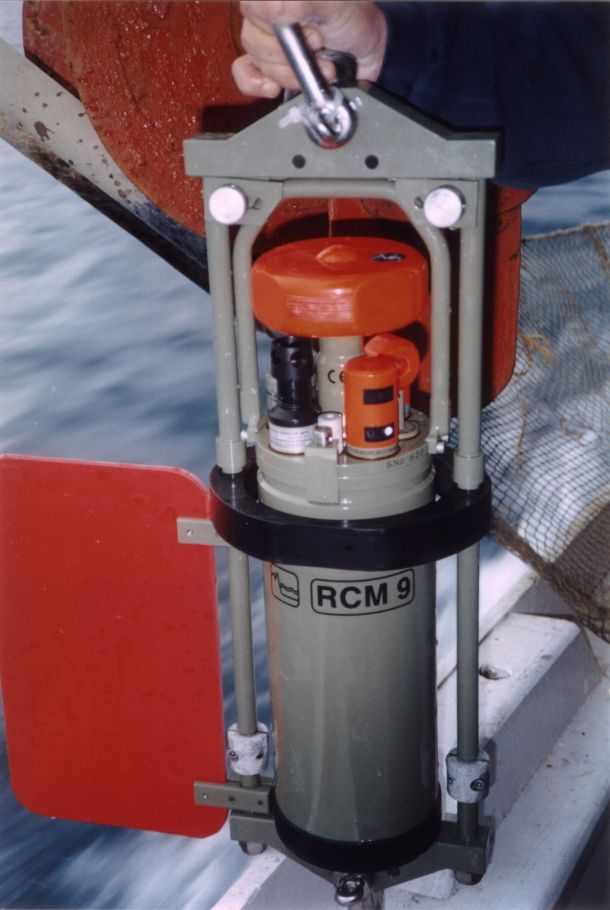
Multi-parameter seawater sensors
Aanderaa RCM 9 Mk II and RCM 7 Single Point Current Meters
Submersible analogue current meters designed for long periods of current monitoring while simulta...
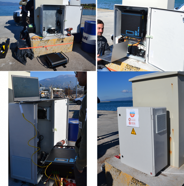
Water Temperature Monitoring
Distributed Temperature Sensing (XT-DTS) system
A sophisticated system that records the seawater temperature along fibre optics cable.
R...

Underwater Noise Monitoring Hydrophones
RTSYS Sylence - LP 440
An underwater noise monitoring logging device designed for long periods of deployment.
Selectabl...
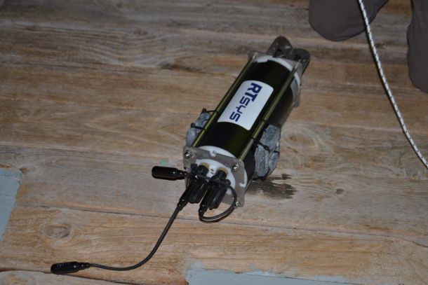
Underwater Noise Monitoring Hydrophones
RTSYS RESEA 320+
A self-powered underwater noise monitoring logging with 3 modes of operation (autonomous ...
Current meters
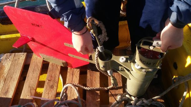
Aanderaa RCM 7 Single Point Current Meters (2 items)
Submersible analogue current meters designed for long periods of current monitoring while simulta...
Current meters
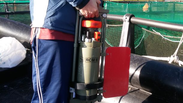
Aanderaa RCM 9 Mk II Single Point Current Meter
Submersible doppler current meter designed for long periods of current monitoring while s...
Current meters
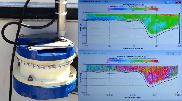
Teledyne RD Workhorse Monitor Acoustic Dopler Current Profiler (ADCP)
A high accuracy ADCP system designed for use in any environment and either attached to th...
Seafloor Visual Inspection (Gound Truth)
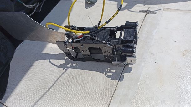
Towed Underwater Camera (TUC)
A custom-made TUC used for quick inspection of the seafloor.
Depth Rating: 150m
1080p C...
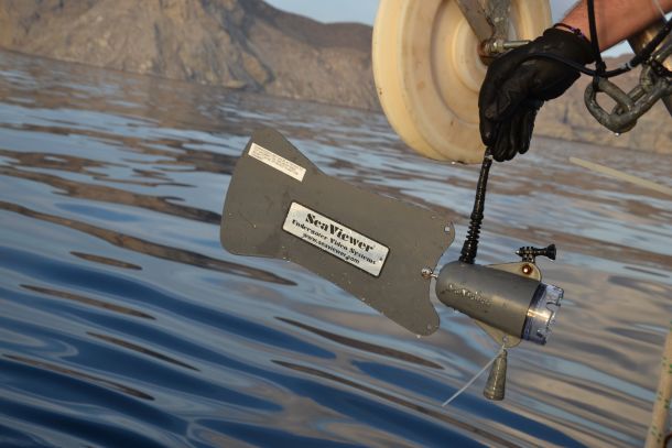
Seafloor Visual Inspection (Gound Truth)
SeaViewer Towed Underwater Camera (TUC)
A sturdy TUC used for quick inspection of the seafloor.
Depth Rating: 350m
720p Came...
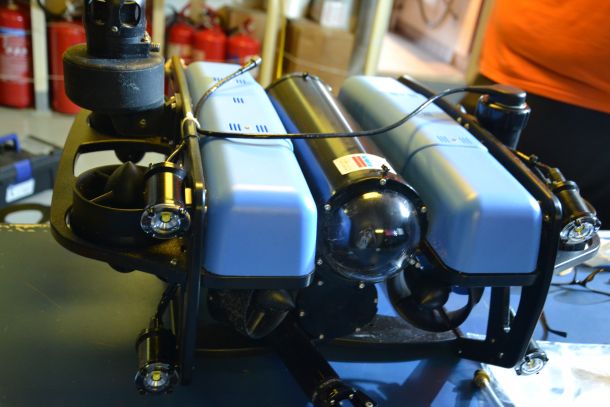
Seafloor Visual Inspection (Gound Truth)
BlueROV2
A self-powered Remote Operated Vehicle (ROV) that can be deployed using only 1 PC.
Opera...
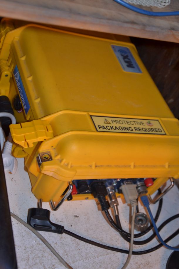
Singlebeam Echosounders (SBES)
MX Aquatic Habitat Echosounder
A narrow beam SBES used for the detection of underwater vegetation height.
Frequency: 20...
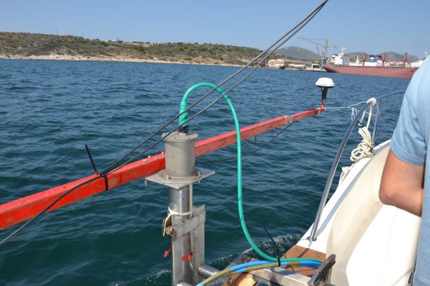
Ultra-Short Baseline (USBL)
SeaTrac Micro-USBL
A compact USBL used for the underwater position detection of ROV / TUC and SSS
Acoustic Range: 1...
Motion Reference Unit
SMC IMU-10 Range
A work class motion sensor crucial for the collection of MBES data.
Accuracy: Roll &a...
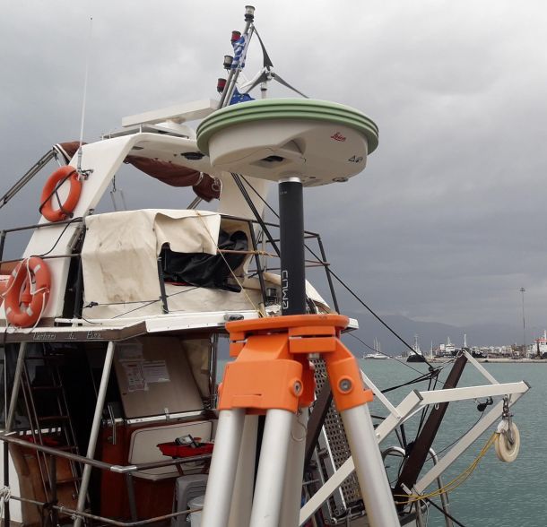
Global Navigation Satellite System – GNSS
Leica Viva GNSS GS08plus receiver
One of the most trustworthy RTK GNSS receivers on the market.
Accuracy: Static H: 5 mm V...
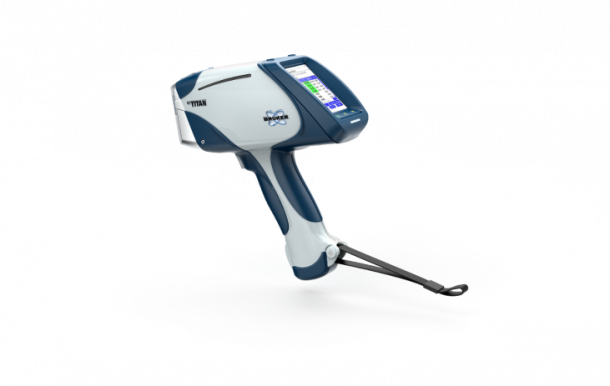
Lab Equipment
XRF
Portable Bruker S1 TITAN 500 Handheld XRF Spectrometer:
The Portable Bruker S1 TITAN 500 Handhel...
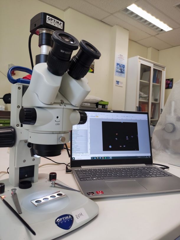
Lab Equipment
Microscopes
-1 Leica MZ6 Microscope
-1 Optika SLX Stereo Microscope
- 5 Carl zeiss
-1 Leica MZ6 Microsc...
Gas measurement
Gas measurements
Methane Sensors METS – Franatech for insitu measurements and with a data logger for monitoring....

Lab Equipment
Geotechnical analysis
Shearbox - For the determination of the consolidated drained shear strength of a soil material ...
Lab Equipment
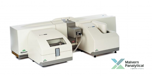
Grain size analysis
1. MasterSizer 2000 (particle size analyzer) for fine grain sediments. MasterSizer 2000 is utiliz...
Sediment Samplers
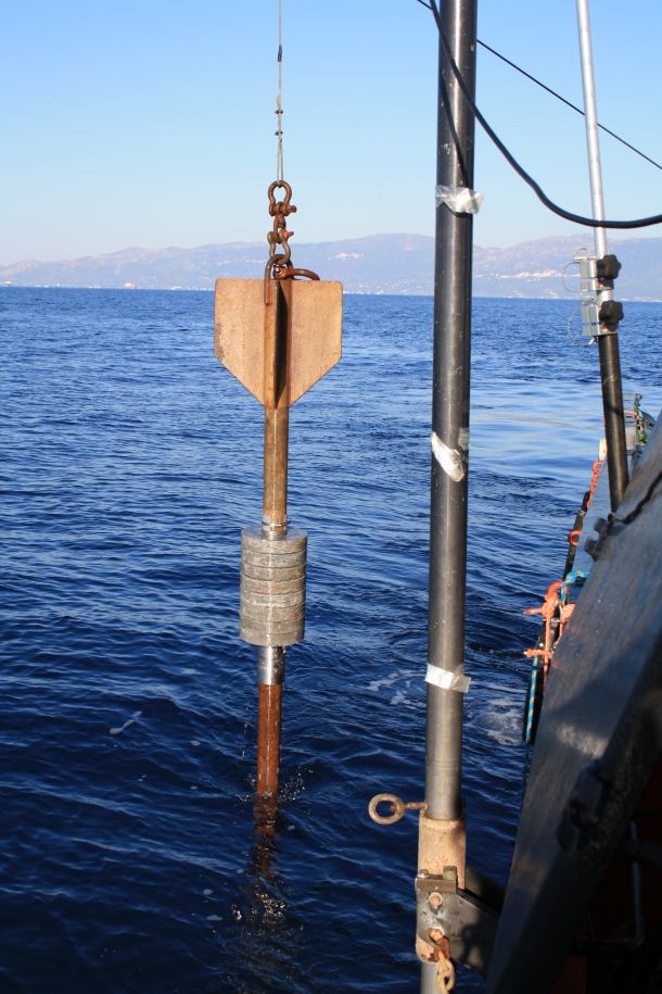
Sediment samplers
Gravity Corer 3 m long (Βenthos)
Box Corer
Day Grab
Van-Veen (Hydro-Bios)
Corer (KC Kajak)
...
Software
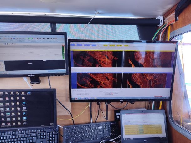
Acquisition and processing software
SSS Data Acquisition
Discover 4200 - Edge Tech
Discover 4100 - Edge Tech
SSS Data...
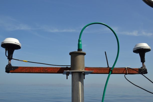
Global Navigation Satellite System – GNSS
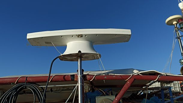
Hemisphere V100 Series GPS Compass
A Dual GNSS DGPS receiver used for pinpoint location and heading determination.
Location...
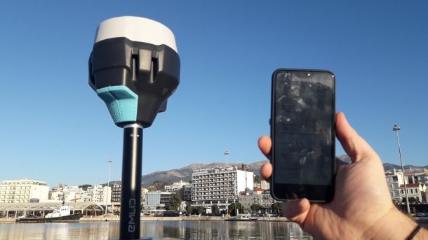
Global Navigation Satellite System – GNSS
Hemisphere Vector VS101 GPS Compass
A Dual GNSS DGPS receiver used for pinpoint location and heading determination.
Location...
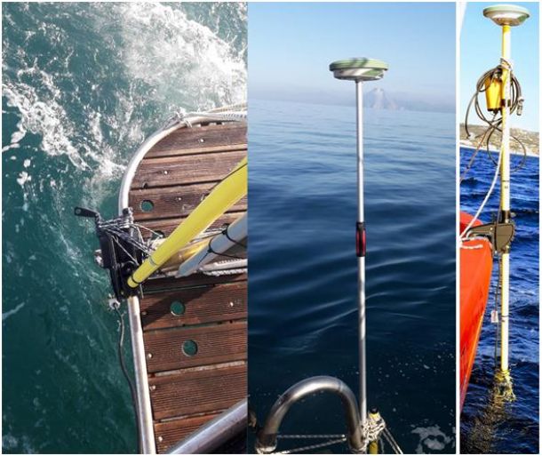
Global Navigation Satellite System – GNSS
EMLID Reach RS2 GNSS
An RTK compatible GNSS Receiver that can form a base rover connection through LoRa with a...
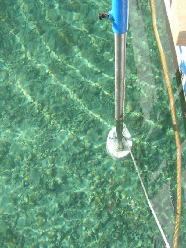
Singlebeam Echosounders (SBES)
Seafloor Hydrolite Plus
A compact and durable SBES used for surveying even in the smallest of vessels or attached...

Software
TargAn
The TargAn software package is dedicated to parameterizing backscatter image regions of interest ...
Singlebeam Echosounders (SBES)
Hydrostar 4300
A well proven Hydrographic SBES used for bathymetric survey.
Frequency: 200/30kHz
Depth...
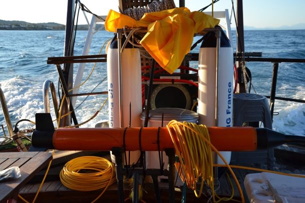
Marine Magnetometer
SeaSPY
The most reliable omnidirectional magnetometer that has the ability to be connected with the Edge...
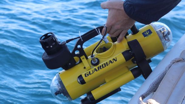
Seafloor Visual Inspection (Gound Truth)
Guardian Mini Remote Operated Vehicle (ROV)
An ultra-portable underwater inspection ROV.
Operating Depth: 150m
Forward and Backward...
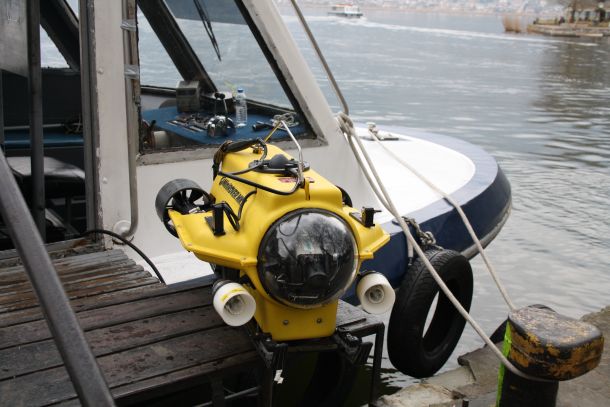
Seafloor Visual Inspection (Gound Truth)
Benthos MKII Remote Operated Vehicle (ROV)
A Hollywood Star (opening Scene of the Titanic) self-propelled ROV.
Operating Depth: 300...
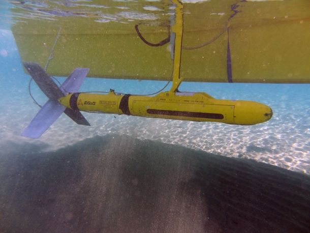
Side Scan Sonars (SSS)
EdgeTech 272-TD – Topside 4100P
One of the most well-known and respected SSS towfish and 4100P topside unit.
Frequency: ...
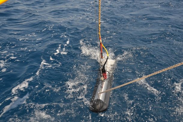
Side Scan Sonars (SSS)
EdgeTech 4200SP
One of the latest SSS manufactured by Edgetech capable of transmitting both frequencies s...
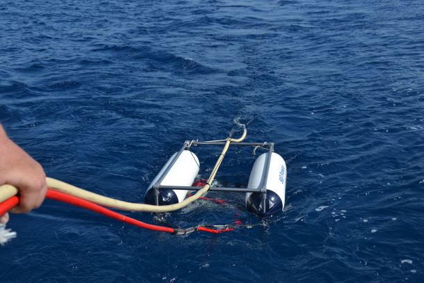
Sub-Bottom Profilers (SBP)
SIG Boomer Catamaran
A French made Boomer SBP designed for high penetration while maintaining the highest poss...
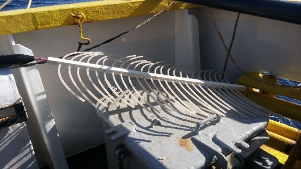
Sub-Bottom Profilers (SBP)
SIG Sparker
An SBP System Designed for the maximum possible penetration.
Frequency Range: 200Hz – 2k...
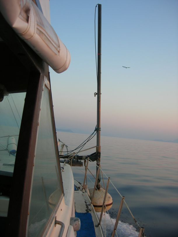
Sub-Bottom Profilers (SBP)
GeoAcoustics Geopulse Pinger
One of the most durable and trustworthy Pinger SBP systems.
Frequency Range: 2 - 12 kHz ...
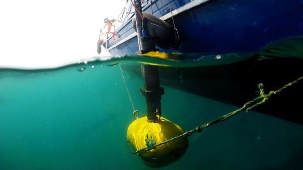
Sub-Bottom Profilers (SBP)
Kongsberg Geopulse PLUS
A digital high resolution Chirp SBP designed to fit in small vessels while maintaining hi...
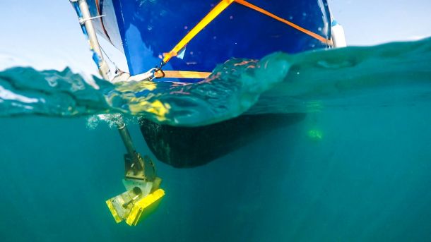
Multibeam Echosounders (MBES)
Bathyswath -1
A compact portable Interferometric Sonar that is designed for use in very shallow water d...
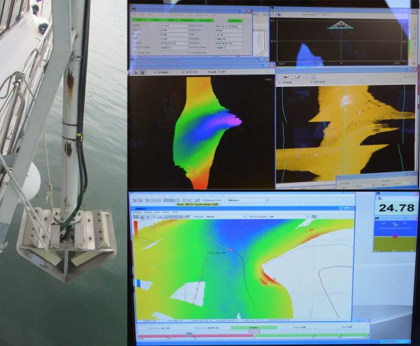
Multibeam Echosounders (MBES)
SeaBeam 1185
A portable MBES system capable of collecting bathymetrical and backscatter data of high r...

OTT Orpheus Mini
A ground water data logger that can be also used as a seawater level logger.
Temperature: Accura...

Sea & Sun CTD48
A small multiparameter CTD designed for fast deployment and measurements.
Depth Range: 6000m
Te...

In-Situ Troll 9500
A High-quality system that simplifies multiparameter logging.
Depth Rating: 250m
Barometric Pre...

Aanderaa RCM 9 Mk II and RCM 7 Single Point Current Meters
Submersible analogue current meters designed for long periods of current monitoring while simulta...

Distributed Temperature Sensing (XT-DTS) system
A sophisticated system that records the seawater temperature along fibre optics cable.
R...

RTSYS Sylence - LP 440
An underwater noise monitoring logging device designed for long periods of deployment.
Selectabl...

RTSYS RESEA 320+
A self-powered underwater noise monitoring logging with 3 modes of operation (autonomous ...

Aanderaa RCM 7 Single Point Current Meters (2 items)
Submersible analogue current meters designed for long periods of current monitoring while simulta...

Aanderaa RCM 9 Mk II Single Point Current Meter
Submersible doppler current meter designed for long periods of current monitoring while s...

Teledyne RD Workhorse Monitor Acoustic Dopler Current Profiler (ADCP)
A high accuracy ADCP system designed for use in any environment and either attached to th...

Towed Underwater Camera (TUC)
A custom-made TUC used for quick inspection of the seafloor.
Depth Rating: 150m
1080p C...

SeaViewer Towed Underwater Camera (TUC)
A sturdy TUC used for quick inspection of the seafloor.
Depth Rating: 350m
720p Came...

BlueROV2
A self-powered Remote Operated Vehicle (ROV) that can be deployed using only 1 PC.
Opera...

MX Aquatic Habitat Echosounder
A narrow beam SBES used for the detection of underwater vegetation height.
Frequency: 20...
SeaTrac Micro-USBL
A compact USBL used for the underwater position detection of ROV / TUC and SSS
Acoustic Range: 1...

SMC IMU-10 Range
A work class motion sensor crucial for the collection of MBES data.
Accuracy: Roll &a...

Leica Viva GNSS GS08plus receiver
One of the most trustworthy RTK GNSS receivers on the market.
Accuracy: Static H: 5 mm V...

XRF
Portable Bruker S1 TITAN 500 Handheld XRF Spectrometer:
The Portable Bruker S1 TITAN 500 Handhel...

Microscopes
-1 Leica MZ6 Microscope
-1 Optika SLX Stereo Microscope
- 5 Carl zeiss
-1 Leica MZ6 Microsc...

Gas measurements
Methane Sensors METS – Franatech for insitu measurements and with a data logger for monitoring....

Geotechnical analysis
Shearbox - For the determination of the consolidated drained shear strength of a soil material ...

Grain size analysis
1. MasterSizer 2000 (particle size analyzer) for fine grain sediments. MasterSizer 2000 is utiliz...

Sediment samplers
Gravity Corer 3 m long (Βenthos)
Box Corer
Day Grab
Van-Veen (Hydro-Bios)
Corer (KC Kajak)
...

Acquisition and processing software
SSS Data Acquisition
Discover 4200 - Edge Tech
Discover 4100 - Edge Tech
SSS Data...

Hemisphere V100 Series GPS Compass
A Dual GNSS DGPS receiver used for pinpoint location and heading determination.
Location...

Hemisphere Vector VS101 GPS Compass
A Dual GNSS DGPS receiver used for pinpoint location and heading determination.
Location...

EMLID Reach RS2 GNSS
An RTK compatible GNSS Receiver that can form a base rover connection through LoRa with a...

Seafloor Hydrolite Plus
A compact and durable SBES used for surveying even in the smallest of vessels or attached...

TargAn
The TargAn software package is dedicated to parameterizing backscatter image regions of interest ...

Hydrostar 4300
A well proven Hydrographic SBES used for bathymetric survey.
Frequency: 200/30kHz
Depth...

SeaSPY
The most reliable omnidirectional magnetometer that has the ability to be connected with the Edge...

Guardian Mini Remote Operated Vehicle (ROV)
An ultra-portable underwater inspection ROV.
Operating Depth: 150m
Forward and Backward...

Benthos MKII Remote Operated Vehicle (ROV)
A Hollywood Star (opening Scene of the Titanic) self-propelled ROV.
Operating Depth: 300...

EdgeTech 272-TD – Topside 4100P
One of the most well-known and respected SSS towfish and 4100P topside unit.
Frequency: ...

EdgeTech 4200SP
One of the latest SSS manufactured by Edgetech capable of transmitting both frequencies s...

SIG Boomer Catamaran
A French made Boomer SBP designed for high penetration while maintaining the highest poss...

SIG Sparker
An SBP System Designed for the maximum possible penetration.
Frequency Range: 200Hz – 2k...

GeoAcoustics Geopulse Pinger
One of the most durable and trustworthy Pinger SBP systems.
Frequency Range: 2 - 12 kHz ...

Kongsberg Geopulse PLUS
A digital high resolution Chirp SBP designed to fit in small vessels while maintaining hi...

Bathyswath -1
A compact portable Interferometric Sonar that is designed for use in very shallow water d...

SeaBeam 1185
A portable MBES system capable of collecting bathymetrical and backscatter data of high r...
