Mapping the aquatic vegetation of Kaiafas Lagoon, using a USV-based system
Field
Project

Pilot survey using a USV-mounted side-scan sonar in the north-northeastern part of the Kaiafas Lagoon, as part of the research conducted by the team of Oceanus-Lab in collaboration with Intelligent Machines Single Member P.C., on the demographics of the aquatic vegetation (Potamogeton pectinatus and Chara hispida corfuensis meadows).
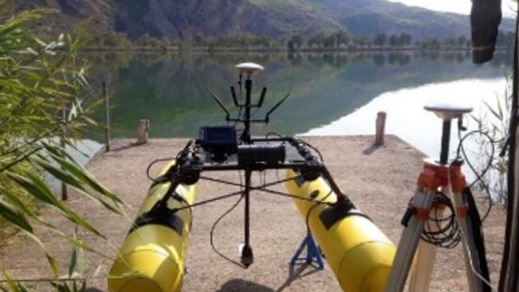 Image by Oceanus-Lab.
Documents
Location