Marine Geophysical Survey in the Gulf of Methoni
Field
Project

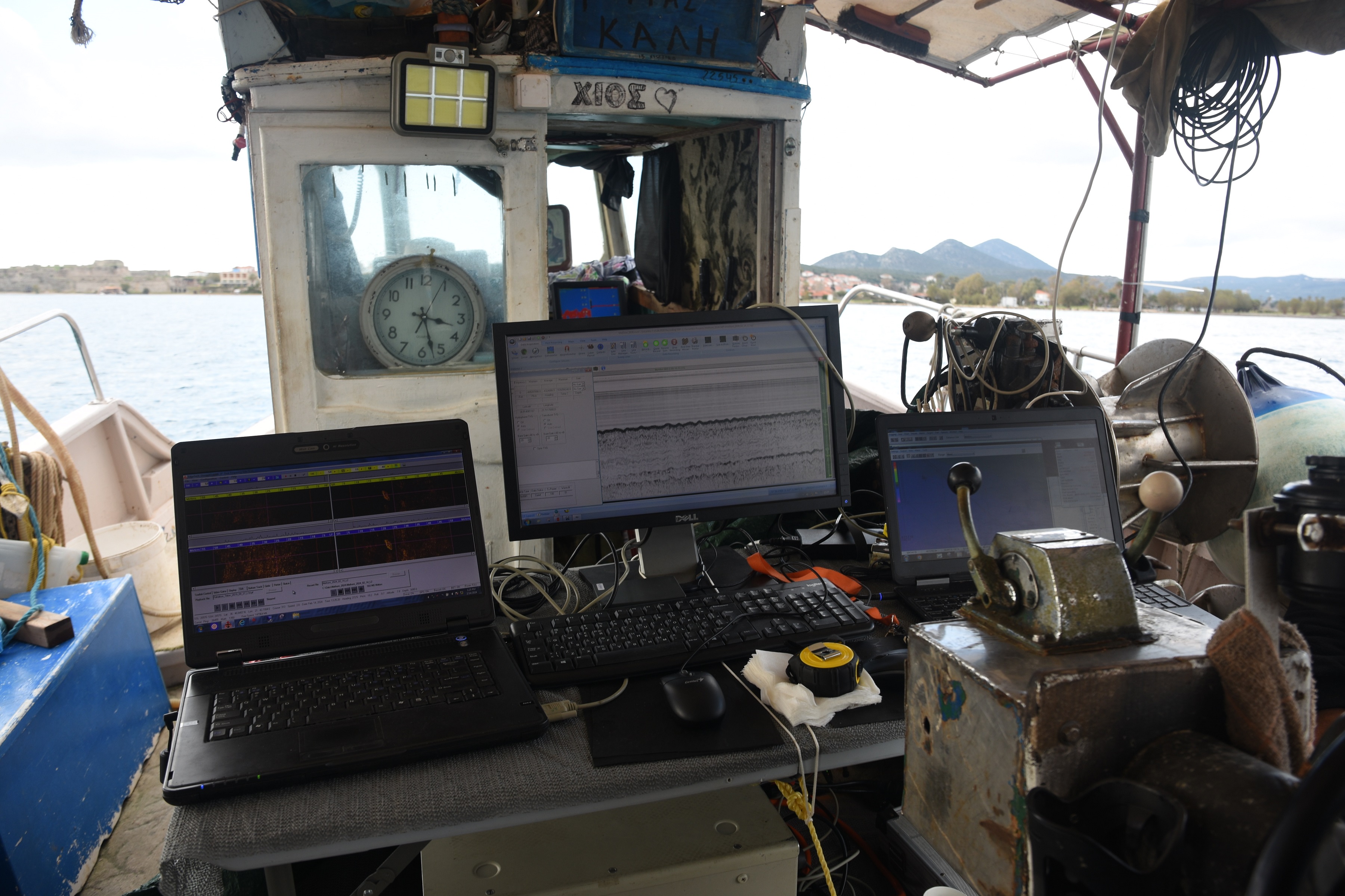
• Marine geophysical research
• Side scan echo sounder mosaic
• Geomorphological bottom mapping. Mapping the morphological characteristics of the seabed, the marine habitats as well as potential archaeological targets, on a map.
• Underwater Cultural Heritage (UCH) Map (which will contain ancient and historical wrecks, sunken settlement).
Funded by: ADK S.A.
Documents
Location