Vodafone Posidonia: Mapping of Posidonia oceanica Seagrass Meadows in Mykonos, Delos, and Rineia Completed

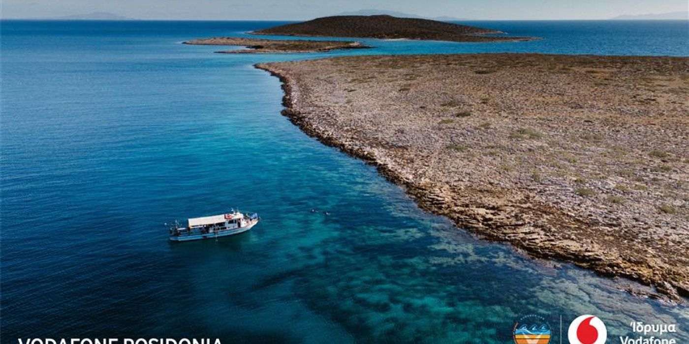
As part of a recent research expedition to Mykonos, Delos, and Rineia, the entire marine area of these islands, encompassing a seabed area of 109.20 square kilometers and reaching depths of up to approximately 50 meters, has been mapped.
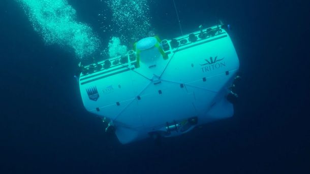
With the islands of Mykonos, Delos, and Rineia, the Vodafone program has completed its research "dives" in the Cyclades to map the valuable underwater oceanica seagrass meadows. The Vodafone Posidonia program, initiated by the Vodafone Foundation, combines Vodafone's advanced technology with the scientific expertise of the Oceanus Lab at the University of Patras. This collaboration aims to create a complete and accurate map of Posidonia oceanica seagrass in Greek seas, in order for its sufficient protection.
The Vodafone Posidonia missions in the Aegean, the starting point of the program, under the scientific guidance of Professor of Environmental and Geological Oceanography and Director of the Oceanus Lab, George Papatheodorou, have already precisely documented the total extent and characteristics of Posidonia oceanica meadows around the islands of Syros, Paros, and Antiparos.
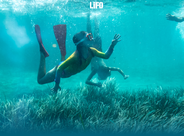
During the recent research mission to Mykonos, Delos, and Rineia, the entire marine area of these islands, covering a seabed area of 109.20 square kilometers and reaching depths of up to 50 meters, was mapped. According to the mapping findings and 73 underwater recordings, lasting approximately 14 hours, the Posidonia oceanica meadows cover over 25,000 stremmas (2,500 hectares) of the seabed, producing more than 380 million liters of oxygen per day. The deepest spot where a Posidonia oceanica meadow was found northeast of Rineia (42 meters) and west of Mykonos (44 meters), while extensive Posidonia oceanica meadows were also discovered along the southwestern coasts of Mykonos and the eastern coasts of Rineia.
Signs of meadow degradation due to anchoring near ports and tourist beaches of Mykonos were identified, along with areas with a high concentration of debris off tourist beaches and in the Delos-Rineia strait. The marine research also provided valuable information regarding the seabed morphology, the estimated height of P. oceanica leaves, sediment thickness in the meadow areas, and revealed the presence of invasive seaweed species such as Caulerpa racemosa around Mykonos, as well as Halophila stipulacea and Caulerpa prolifera.
The systematic and detailed recording of Posidonia oceanica using cutting-edge technology equipment in strategically selected areas of the Cyclades now enables safe extrapolations regarding its overall extent in the Aegean, contributing to highlighting its significant ecological role and finding ways to protect it.
For more information about the Vodafone Posidonia programme, interested parties can visit the Vodafone Foundation's website: Vodafone Posidonia.
Article on Web
Latest Posts

Alarming pollution levels found in Mediterranean depths

"Why are the Posidonia meadows so valuable for our seas?": Article in LIFO
