Vodafone Posidonia: A coordinated mapping initiative to highlight and protect Posidonia oceanica meadows

The mapping of Posidonia oceanica in Paros, Antiparos and Syros has been completed. Next stops the islands of Mykonos and Delos.
The know-how and coordinated action of the Vodafone Foundation and Oceanus-Lab of the University of Patras comes as a beacon of hope for a better future, setting the grounds for an ambitious mission, which aims to inform and sensitize the public, on the importance of Posidonia oceanica and then, to initiate actions for its protection.
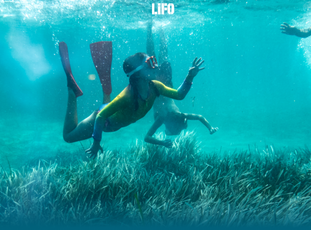
In Greece, the total area of Posidonia oceanica is estimated to produce approximately 65 thousand tons of oxygen per day and absorb approximately 200 thousand tons of carbon per year, while according to estimations, the economic value of ecosystem amounts to €172 per square meter, which translates into approximately €470 billion per year, for the entire Greek area. For this reason, the preservation of this vulnerable underwater habitat is of utmost importance.
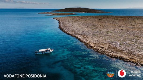
The journey to protect Posidonia oceanica, through the help of the technology and know-how available to the Vodafone Foundation, began in September 2023, in collaboration with the Laboratory of Marine Geology & Physical Oceanography (Oceanus Lab) of the University of Patras and under the scientific supervision of George Papatheodorou, with the mapping of Posidonia oceanica taking place first on the islands of Syros, Paros & Antiparos.
Some important findings from the Vodafone Foundation's ambitious mission have already emerged, while the identification of strategic areas in the Aegean Sea is the first series of the investigations, with the aim of providing the tools for a safe assessment of the extent of Posidonia oceanica in the Greek area.
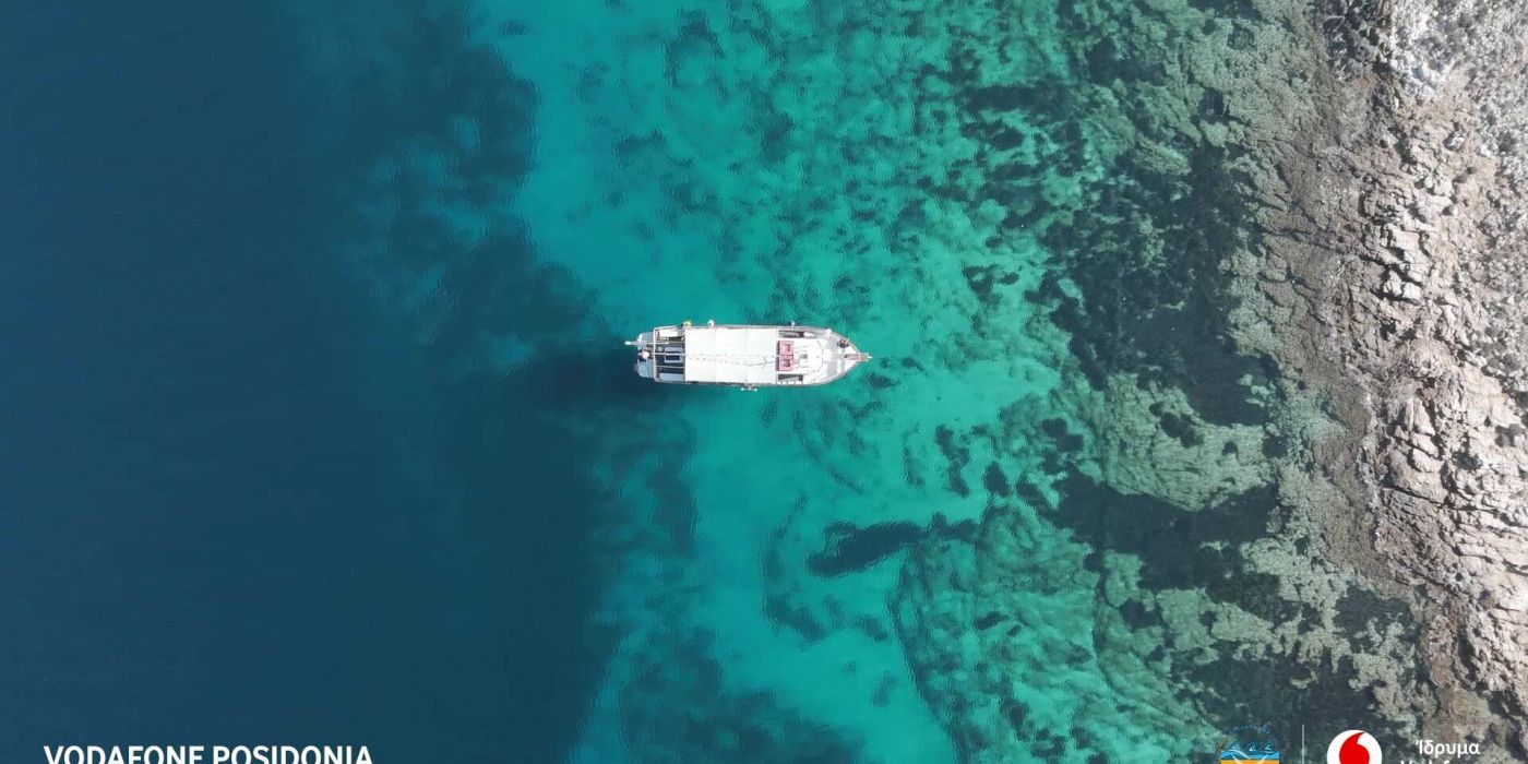
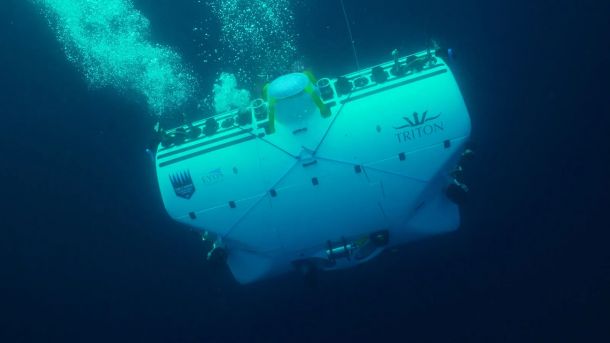
Posidonia oceanica meadows were mapped in the areas of Paros, Antiparos and Syros. Using sophisticated sonar and robotic systems, as well as underwater remotely controlled vessels, more than 215 square kilometers of seabed were surveyed and mapped. At the same time, through 88 underwater video shots, with a total duration of almost 30 hours, the diversity of Posidonia oceanica meadows was revealed. The submerged plant's leaf hight, the seabed type, as well as the thickness of the sediment in these areas are among the findings of the surveys.
At the same time, evidence of alteration and degradation was identified and recorded in various areas, demonstrating the influence of anthropogenic intervention, as Posidonia oceanica meadows are threatened by various factors such as water pollution, overfishing and boat mooring, while the re-expansion of the plant itself, in case of degradation-deforestation, requires about a century to reach one meter. And this is just the beginning of a series of actions that also include awareness campaigns, as well as the creation of the digital platform "Citizen Science", the aim of which is the live informing and active participation of the public through the Vodafone network.
Next stations of Vodafone Posidonia: The islands of Mykonos and Delos!
Article on Web
Related Projects
Latest Posts

Alarming pollution levels found in Mediterranean depths

"Why are the Posidonia meadows so valuable for our seas?": Article in LIFO

