-
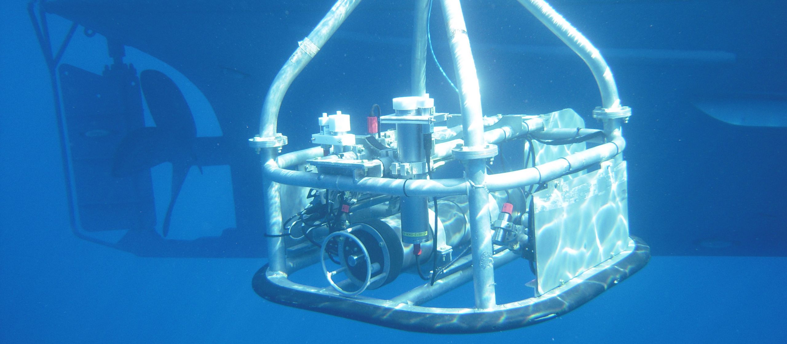
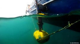
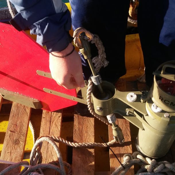
HYPOX
-
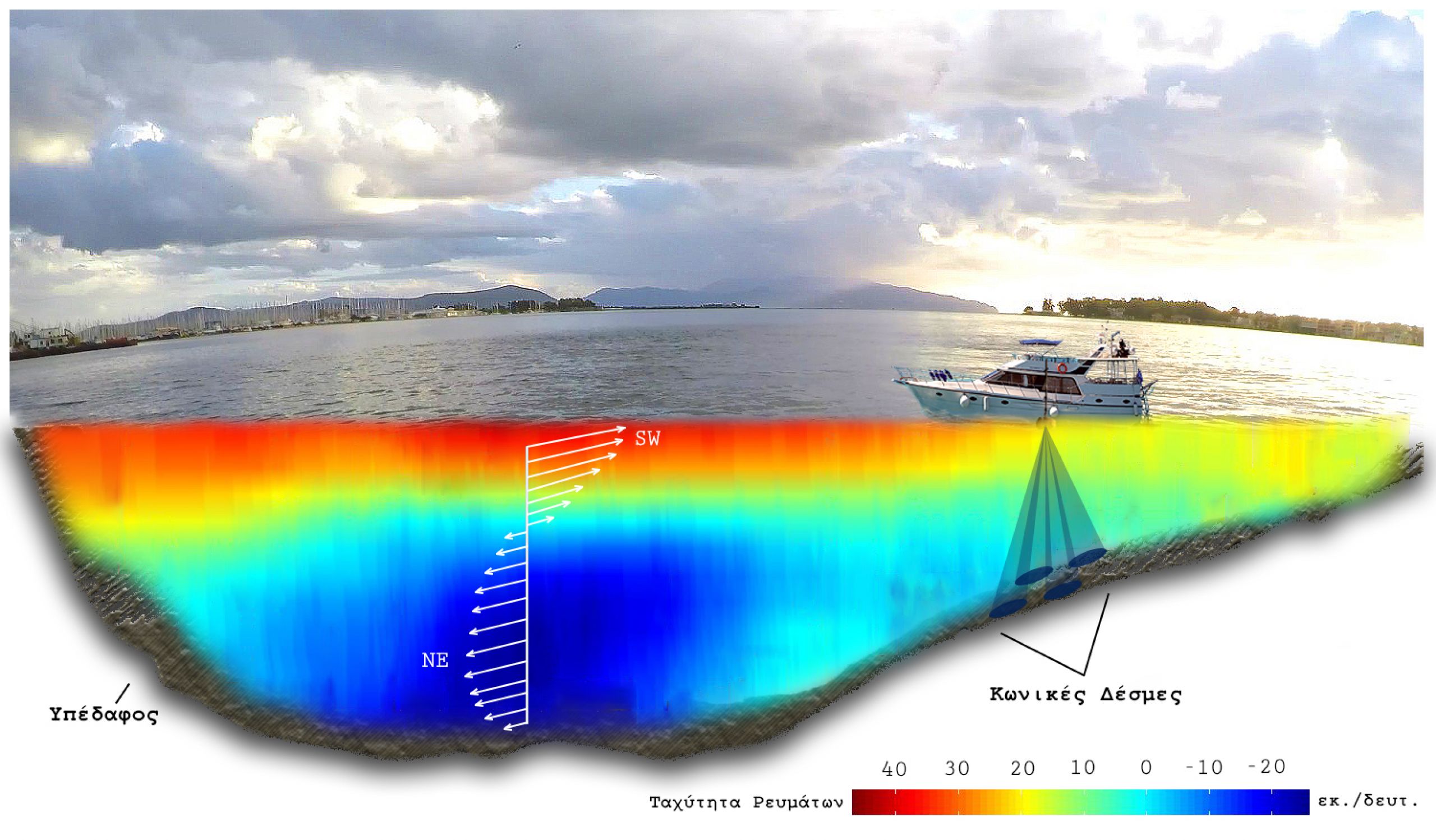
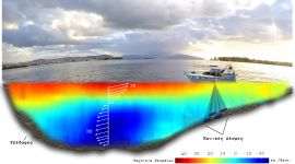
Identification, consequences & management of the anoxic zone of Amvrakikos Gulf
-

Marine habitat mapping in Cyprus
-
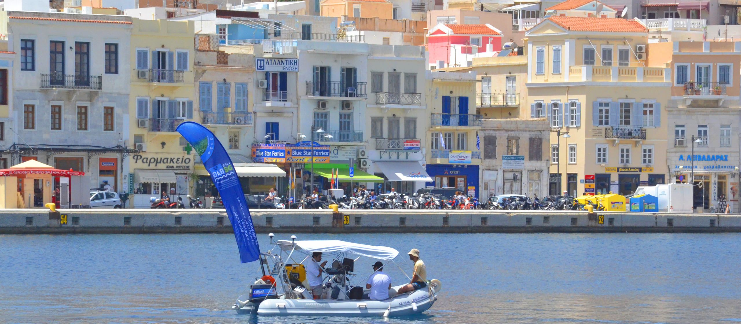
LIFE DEBAG
-
TECTONIC
Our Featured Projects
Projects' Map
Provision of services for the implementation of marine litter monitoring programmes in the Republic of Cyprus
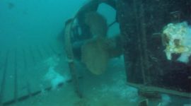
Geophysical and optical survey of two sunken metal targets in the wider Platamonas - Litochoro marine area
Evaluation of the Quality of Marine Sediments in the Port Area of Piraeus - Study of Physical and Chemical Characteristics
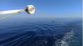
Marine Geophysical and Oceanographic Survey for the installation of an Offshore Windfarm, Lemnos Island

Marine geological/geophysical survey for the laying of pipeline between Salamina Island and N. Peramos
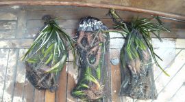
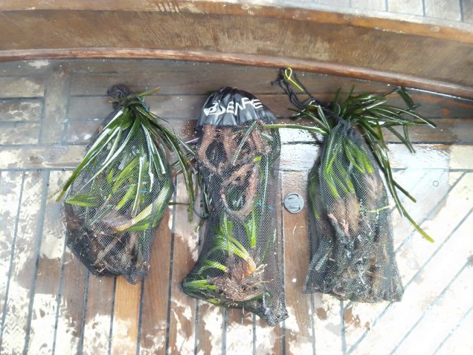
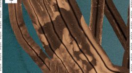
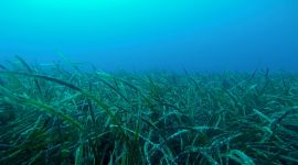
Oceanus-Lab and the Institute of Chemical Engineering Sciences (FORTH/ICE-HT) surveying Posidonia oceanica

Surface gas-geochemical prospection survey based on the integration of soil-gas techniques and analysis of gas dissolved in groundwater in Western Peloponnesus

Marine geophysical survey in the area of submarine connection Perama-Salamina for the estimation of the type and the thickness of seabed sediments.

Integrated methodological scheme for the detection and map submerged archaeological sites and marine habitat

Site Survey and Environmental Sampling Habitat Assessment Baseline Surveys Services - West Patraikos License Area Offshore Greece

Geological, geomorphological and sedimentological research of the lacustrine deposits of the Marathonas reservoir (artificial lake)

Marine geological/geophysical survey the laying of fresh water pipeline between Salamis and Aegina Islands

YUSUF: Geophysical prospection and visual inspection of an area north of Mykonos Isl. for the detection of megalitter of the YUSUF CEPNIOGLU shipwreck

Marine Geophysical survey offshore Hydra Island for the selection of the site and the anchoring of Buoy Mooring system

Desktop study for the selection of the most suitable route for the laying of submarine power cables between Attiki and Crete

Marine geological/geophysical investigations for the laying of telecommunication cables between Neapoli and Kythera, Greece

Marine geological/geophysical investigations for the laying of power cables between Lavrio and Ag. Georgios Isl., Greece

Marine geological/geophysical/hydrographic survey for the construction of Strofades Island, Ionian Sea

Marine geological/geophysical investigations of the seafloor for the identification of geological and man-made hazards prior to the laying of telecommunication cables between Arkitsa and Aedepsos, Greece

Marine geological/geophysical investigations for the laying of power cables between Keratsini and Psytallia, Greece

Marine geological/geophysical investigations in the Killini-Zakynthos strait for the submarine power link between the Greek mainland and Zakynthos Island

Marine geological/geophysical investigations of the seafloor in the Otranto Straits for the laying and burial of the Italian-Greek submarine power cable

Marine geological/geophysical investigations of the seafloor for the identification of geological and man-made hazards prior to the laying of telecommunication cables between Mykonos-Naxos-Paros-Ios-Santorini and Crete Islands in the Aegean sea

Marine geophysical investigation along the coastal zone of Tolophonas-Eratini in the Gulf of Corinth for the study of the coastal collapse induced by the 1995 Aegion earthquake

Marine geological/geophysical investigations of the seafloor for the identification of geological and man-made hazards prior to the laying of telecommunication cables between Lechena-Zakynthos-Kefallinia-Lefkada-Preveza, in the Ionian Sea

Kefalinia-Zakynthos submarine power link: Cable inspection and seafloor mapping for the burial of the cables

Marine geological/geophysical investigations of the Skiathos Straits for the selection of the most suitable route for the laying of submarine power cables

Marine geological/geophysical investigations of the seafloor for the identification of the geological and man-made hazards prior to the laying of telecommunication cables between Athens-Crete (Chania)

Marine geological/geophysical investigations of the seafloor for the identification of geological and man-made hazards prior to the laying of telecommunication cables between Igoumenitsa-Corfu, Preveza-Corfu and Patras-Krioneri

Marine geological/geophysical investigations of the seafloor in the Zakynthos Channel (Ionian Sea) for the selection of the most suitable route for the laying of submarine power cables

Patras Outfall Investigations: water quality, water circulation patterns and modelling effluent dispersion

Marine geological investigations of the seafloor in the Tinos-Syros and Tinos-Mykonos Straits (Aegean Sea) for the selection of the most suitable route for the laying of submarine power cables

Marine geological investigations of the seafloor in the Ahladi-Aidipsos and Actio-Preveza Straits for the identification of geological and man-made hazards prior to the laying of submarine power cables

Marine geological/geophysical survey for the laying of pipelines between Thassos Platform and Keramoti in N. Aegean Sea

Evaluation of the oceanographical and geological conditions which prevail in the Otrando straits for the submarine power link between Italy and Greece

Marine geological survey in the Otranto Straits for the submarine power link between Italy and Greece (in cooperation with Pirelli)

Distribution of the red-mud slurry discharged by a bauxite processing factory on the seafloor of the Corinth Gulf

Marine geological/geophysical survey for the laying of pipeline between Salamina Island and N. Peramos

Marine geophysical survey in the area of submarine connection Perama-Salamina for the estimation of the type and the thickness of seabed sediments.

Marine geological/geophysical survey the laying of fresh water pipeline between Salamis and Aegina Islands

Marine geological/geophysical investigations of the seafloor for the identification of geological and man-made hazards prior to the laying of telecommunication cables between Mykonos-Naxos-Paros-Ios-Santorini and Crete Islands in the Aegean sea

Marine geophysical investigation along the coastal zone of Tolophonas-Eratini in the Gulf of Corinth for the study of the coastal collapse induced by the 1995 Aegion earthquake

Marine geological/geophysical investigations of the seafloor for the identification of geological and man-made hazards prior to the laying of telecommunication cables between Lechena-Zakynthos-Kefallinia-Lefkada-Preveza, in the Ionian Sea

Marine geological/geophysical investigations of the seafloor for the identification of geological and man-made hazards prior to the laying of telecommunication cables between Igoumenitsa-Corfu, Preveza-Corfu and Patras-Krioneri

Marine geological investigations of the seafloor in the Tinos-Syros and Tinos-Mykonos Straits (Aegean Sea) for the selection of the most suitable route for the laying of submarine power cables

Marine geological investigations of the seafloor in the Ahladi-Aidipsos and Actio-Preveza Straits for the identification of geological and man-made hazards prior to the laying of submarine power cables

Marine geological/geophysical investigations of the seafloor for the identification of geological and man-made hazards prior to the laying of telecommunication cables between Arkitsa and Aedepsos, Greece

Marine geological/geophysical investigations of the seafloor for the identification of geological and man-made hazards prior to the laying of telecommunication cables between Mykonos-Naxos-Paros-Ios-Santorini and Crete Islands in the Aegean sea

Marine geological/geophysical investigations of the seafloor for the identification of geological and man-made hazards prior to the laying of telecommunication cables between Lechena-Zakynthos-Kefallinia-Lefkada-Preveza, in the Ionian Sea
In Press
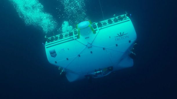
17 February 2025
Alarming pollution levels found in Mediterranean depths
An excerpt from the article published in the Greek edition of the newspaper Kath...
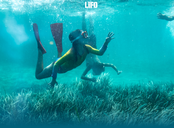
10 October 2024
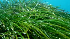
"Why are the Posidonia meadows so valuable for our seas?": Article in LIFO
In the depths of our seas thrives a unique species, endemic to the Mediterranean.
Posidonia oceanica meadows hold a ...
11 July 2024
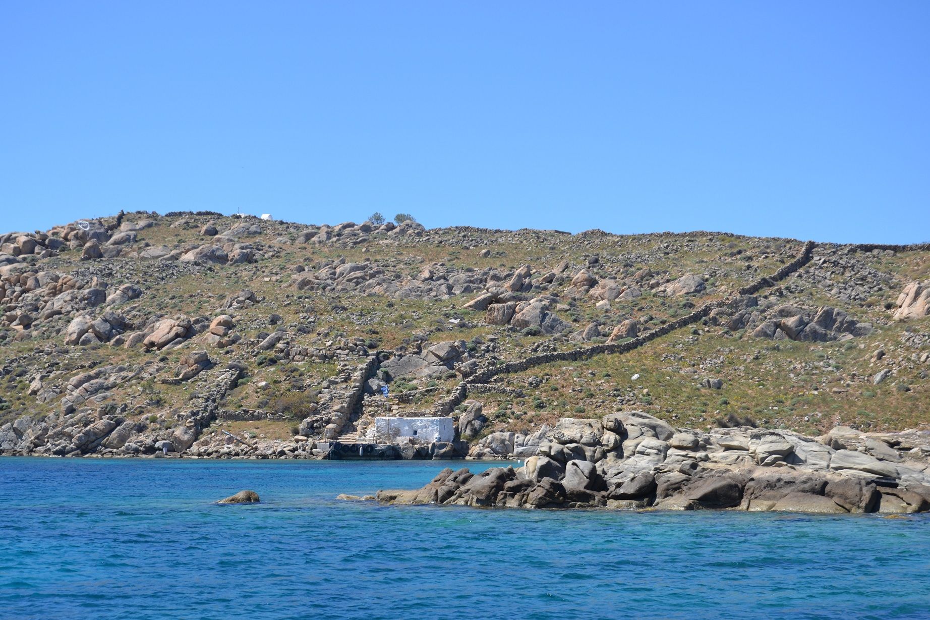
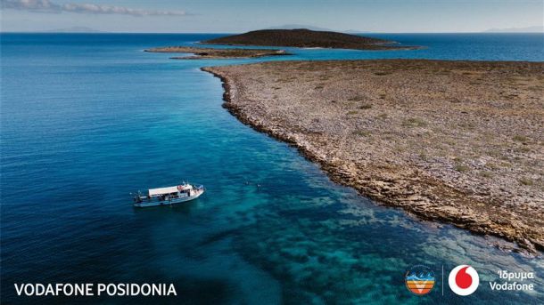
Vodafone Posidonia: Mapping of Posidonia oceanica Seagrass Meadows in Mykonos, Delos, and Rineia Completed
As part of a recent research expedition to Mykonos, Delos, and Rineia, the entire marine area of these islands, encom...

17 February 2025
Alarming pollution levels found in Mediterranean depths
An excerpt from the article published in the Greek edition of the newspaper Kath...
